Our Integrated Services
RTK / Static GPS
We utilize RTK and Static GPS technology to deliver precise geospatial data for surveying and mapping. Our high-accuracy positioning enhances site planning, boundary mapping, and infrastructure development with reliable, real-time data collection.
ALTA / Topographic / Boundary Survey
We offer comprehensive ALTA, topographic, and boundary surveys, delivering accurate land mapping for property transactions, site development, and infrastructure projects. Our detailed surveys ensure compliance, precision, and effective project planning.
Land Record & Utility Research
AIE conducts thorough land record and utility research to support surveying, design, and development projects. Our detailed investigations ensure accurate property boundaries, easements, and underground utility mapping for informed decision-making and compliance.
Asset Management - GIS & CADD
By integrating GIS and CADD technologies for efficient asset management, we provide precise mapping, data visualization, and analysis to optimize asset planning, maintenance, and decision-making across diverse projects.
Unmanned Aerial Systems & Terrestrial Laser Scanning Data Collection
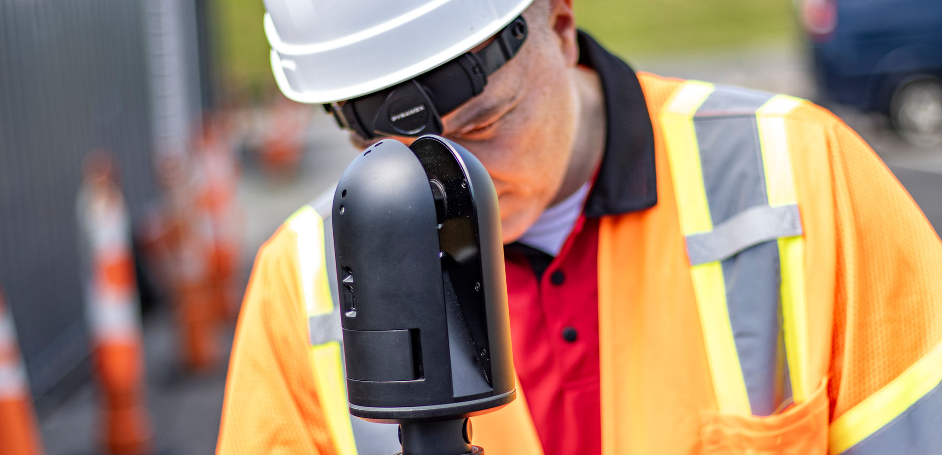
Our team provides high-precision UAS and terrestrial laser scanning services for detailed surveying and mapping. Using advanced LiDAR and imaging technology, we capture accurate 3D data to support infrastructure assessments, construction monitoring, and asset management.

Survey & Mapping
AIE provides comprehensive survey and mapping services as the cornerstone of successful project planning and execution. With expertise in traditional and advanced techniques, including RTK GPS, UAS, and terrestrial laser scanning, we deliver precise data for project development, land management, and construction.

CTDOT Car & Diesel Shop, New Haven Railyard, CT

Leica ScanStation P40 3D Laser Scanner

Roosevelt Island, NY


